the south shore
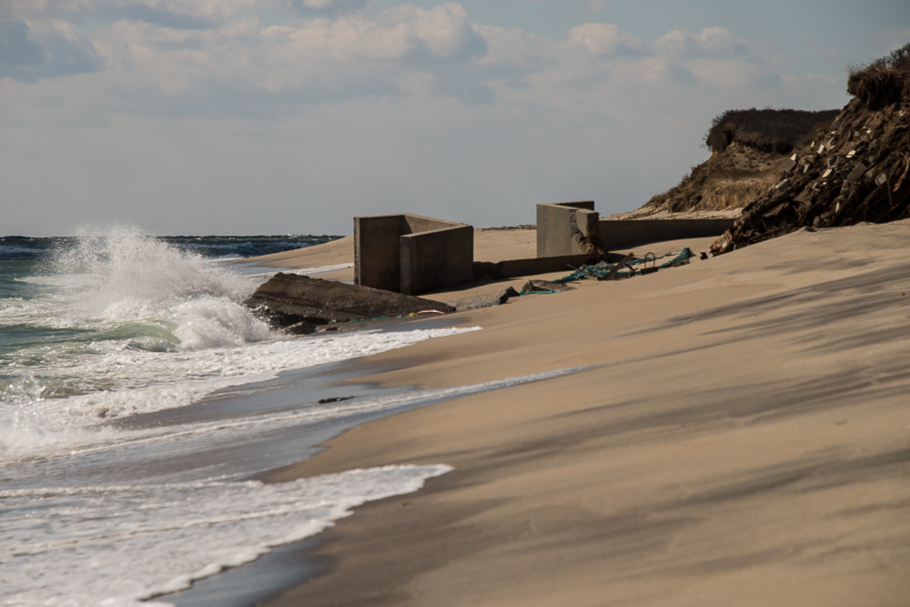
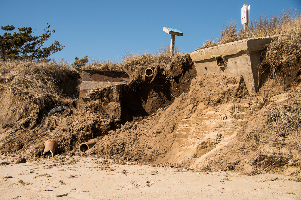
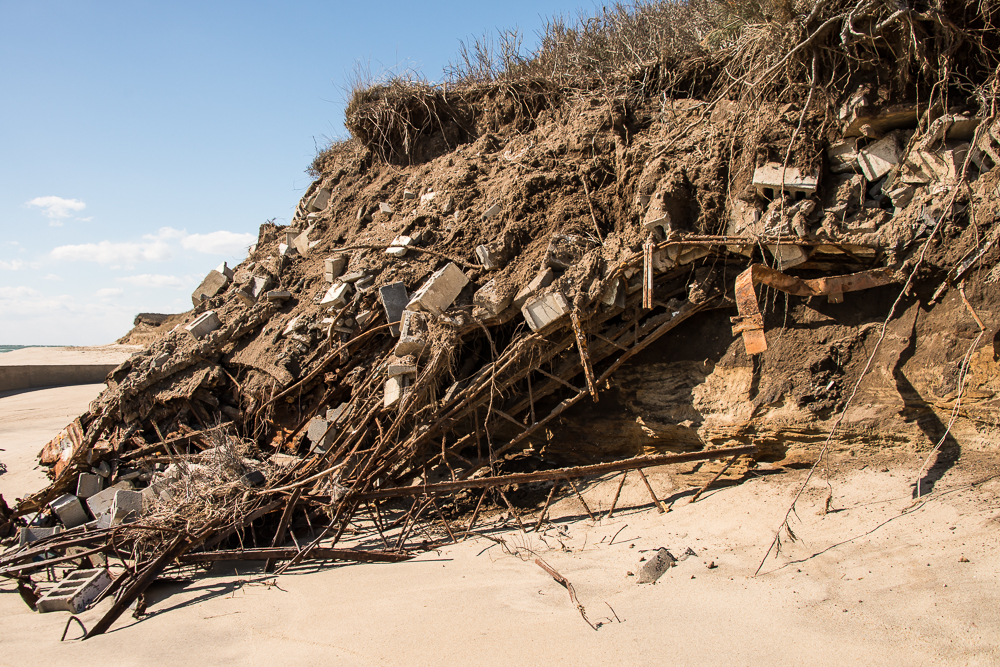
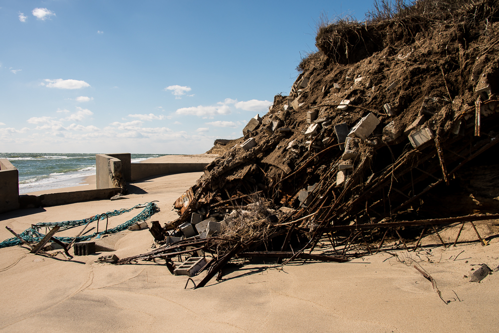
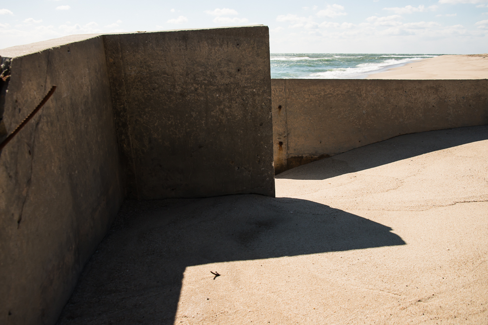
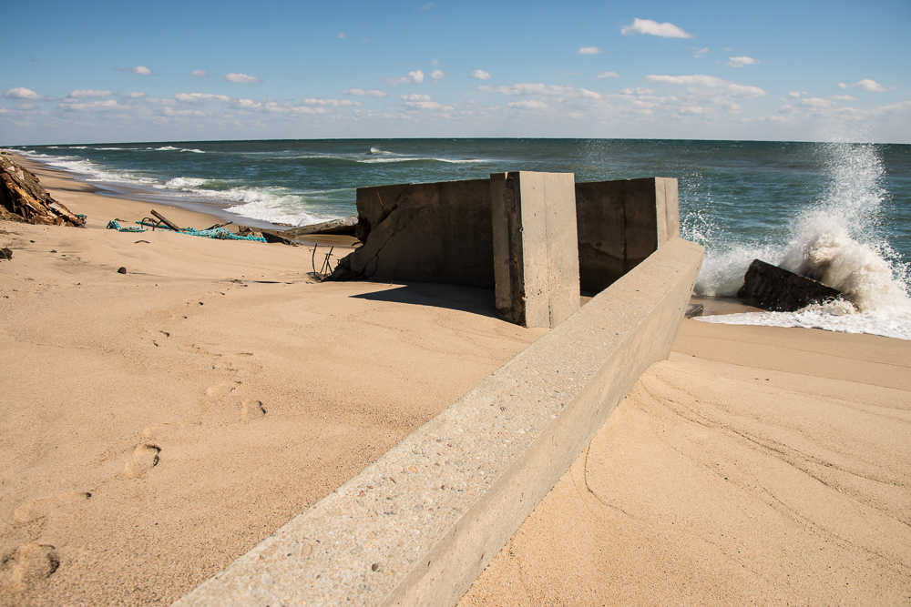
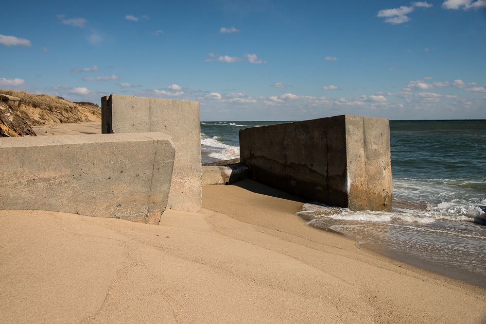
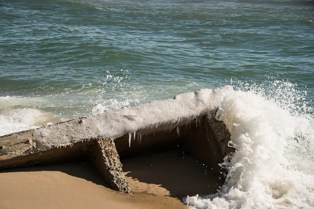
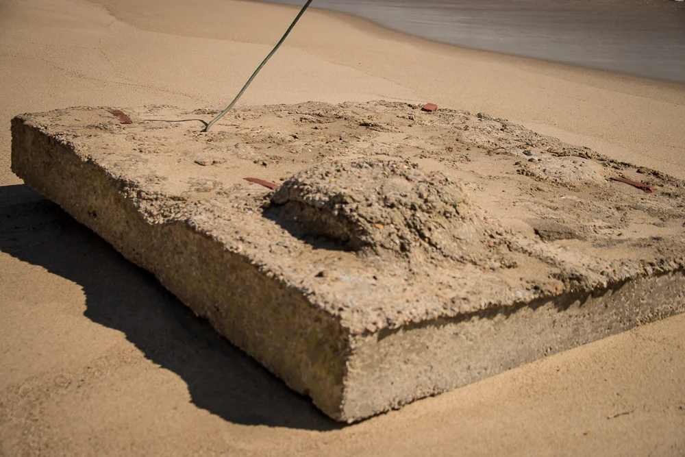
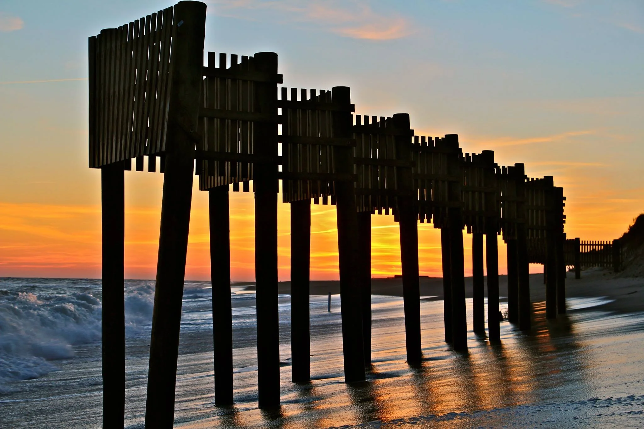
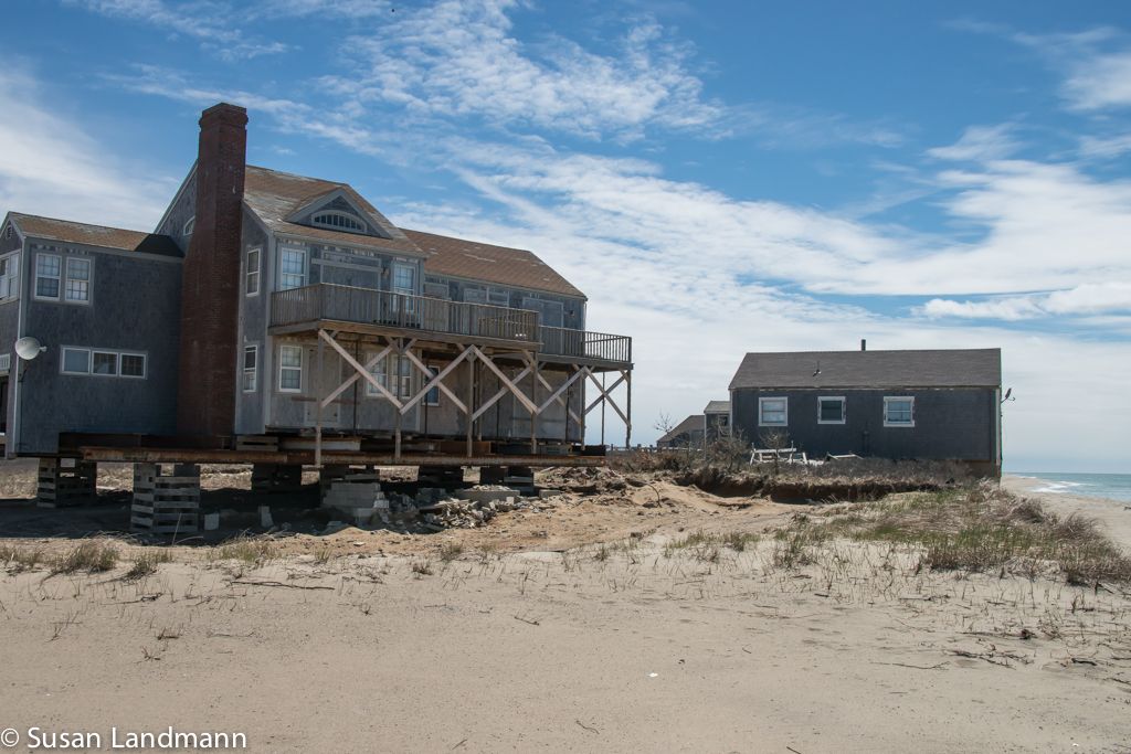
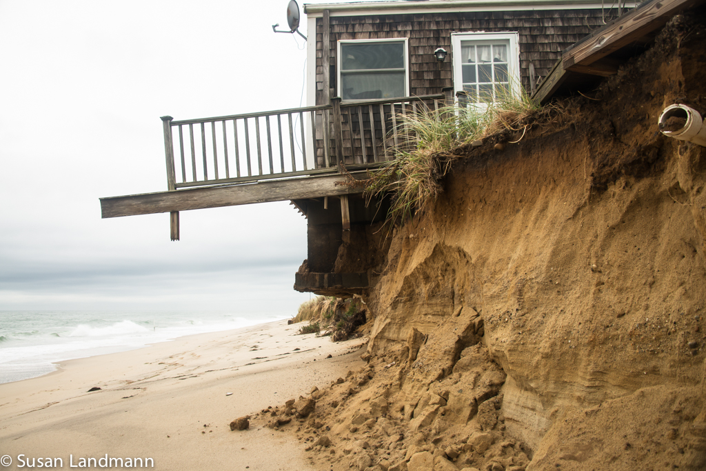
The South Shore section runs from the eastern end of Milestone Road, south and west to Smith’s Point. It includes Tom Nevers, Madequecham, Nobadeer, Fishermen’s, Surfside, Cisco and Madaket beaches. Five private structures were identified across 6 separate properties along the south coast. All of the structures were soft structures. The south coast had sand drift fencing, zigzag fences and beach grass plantings. Many of these structures have been in place for a long time, but after multiple years of use they are now either in severe disrepair, no longer providing any protection, no longer affecting the surrounding beach. One structure showed signs of visible accretion of sand, 2 showed signs of erosion, and one showed signs of both. None of the structures showed signs of scouring, but three were so damaged that they showed no signs of any adverse impacts.
Source: “Evaluating Coastal Erosion Structures, An Interactive Qualifying Project,” December 18, 2014, p. 34. Submitted to the Faculty of Worcester Polytechnic Institute in partial fulfillment of the requirements for the degree of Bachelor of Science by Lauren Hunt (Aerospace Engineering 2016), Christopher Sample (Mechanical Engineering 2016) and Kathleen Sullivan (Mechanical Engineering 2016). The full Report is available on this site under Erosion Overview, Resources.
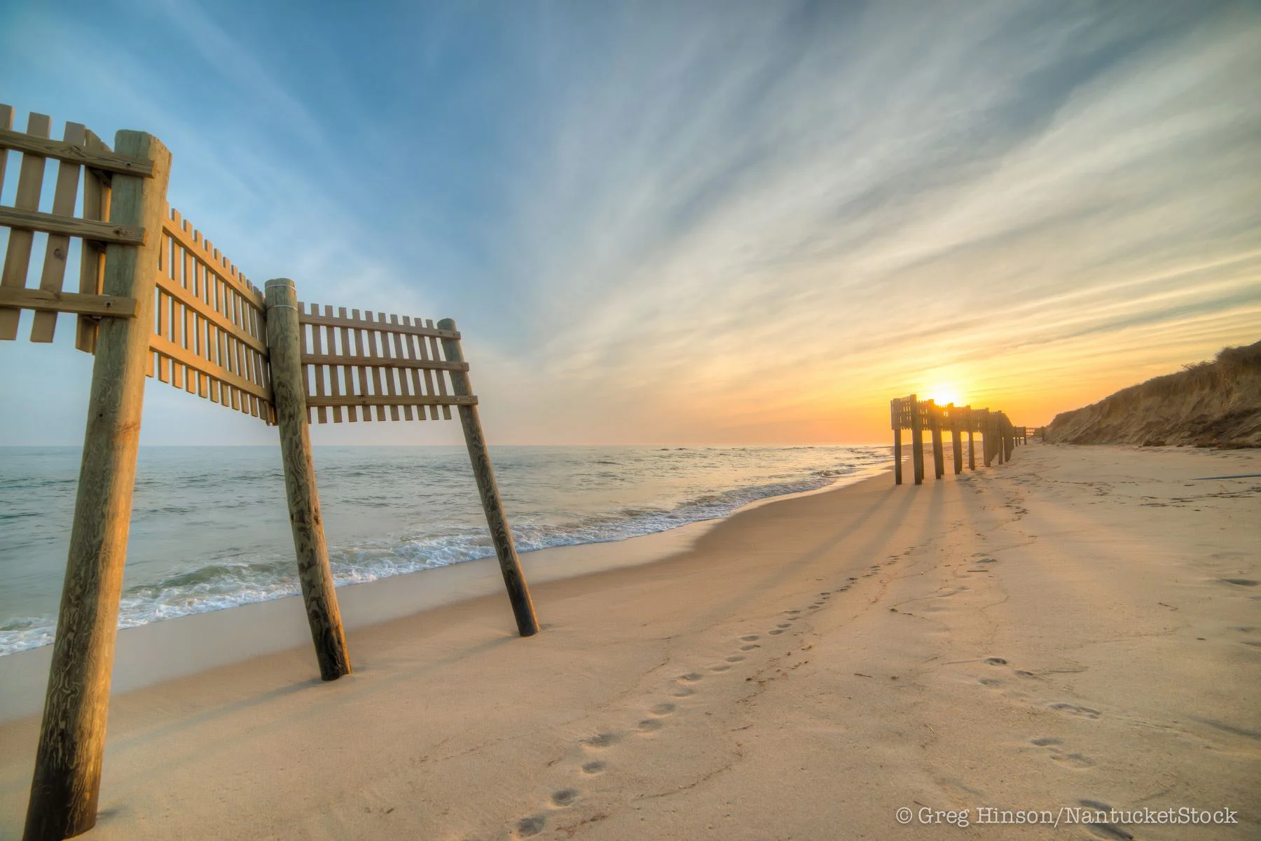
South SHORE Gallery
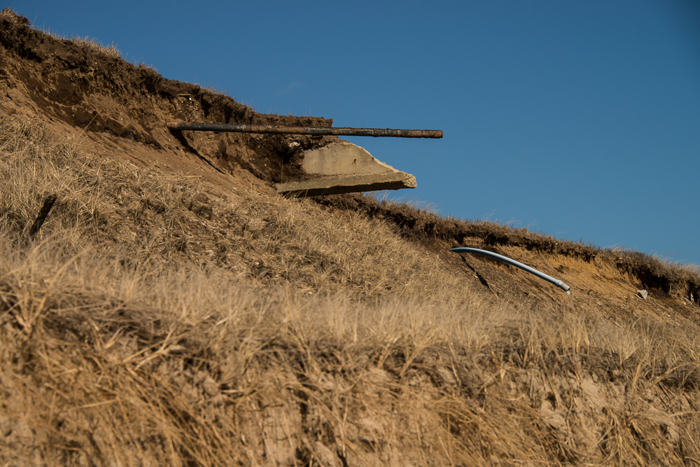
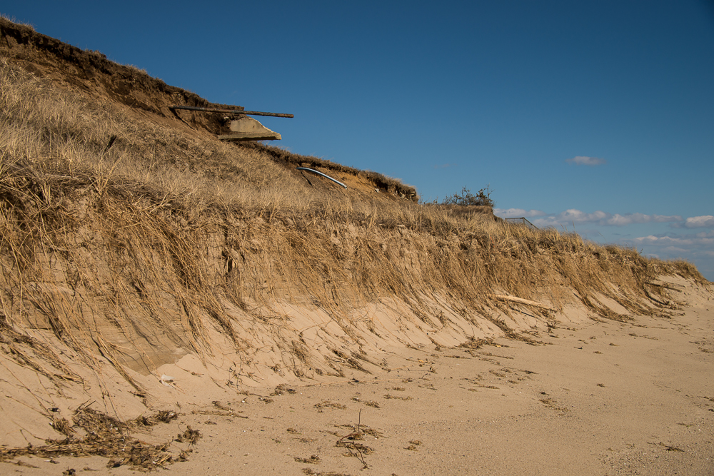
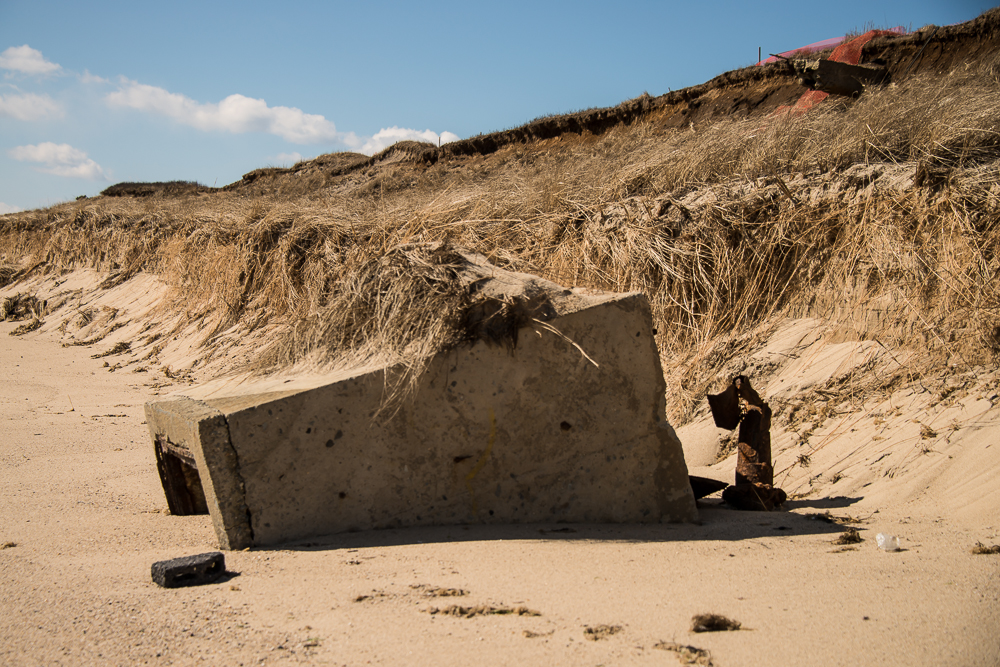
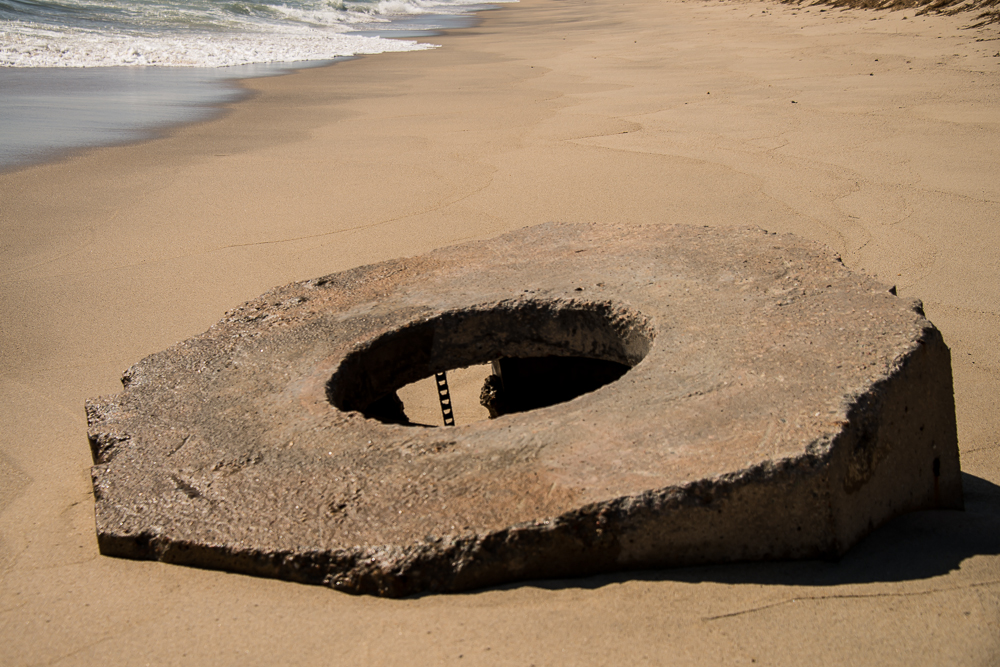
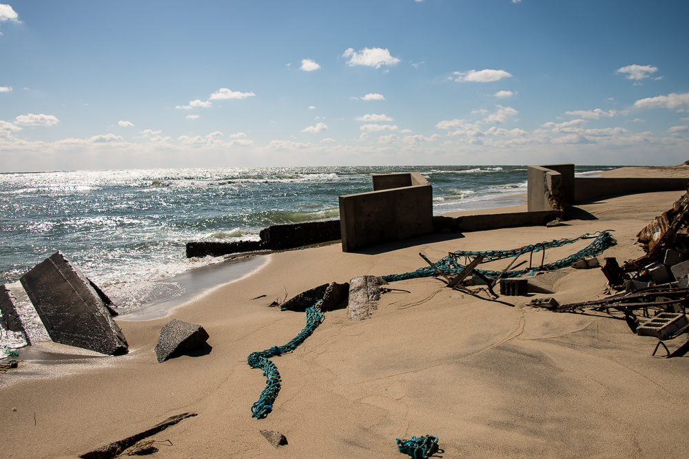
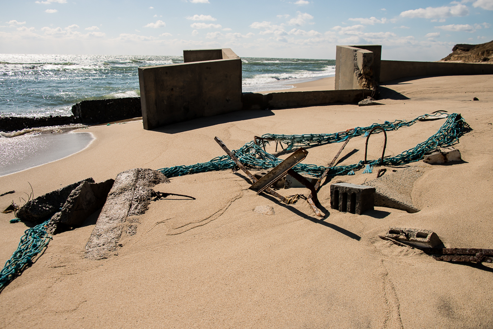
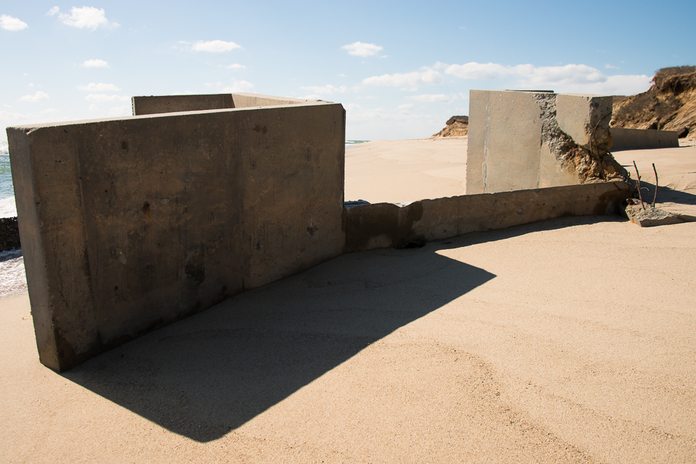
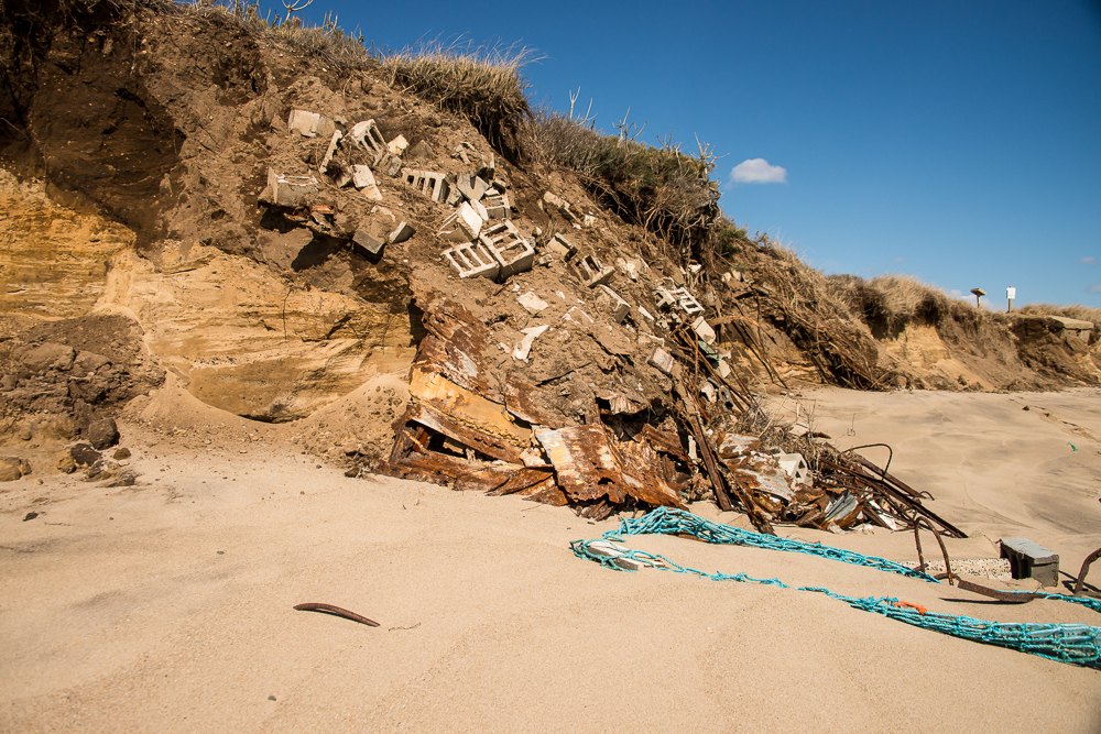
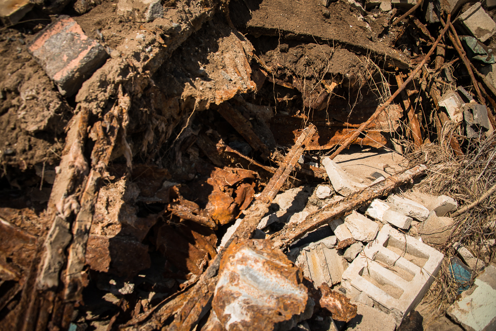
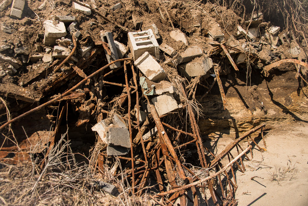
NAVY BASE BUILDINGS DEBRIS ON TOm NEVERS BEACH
March 6, 2019